UAV surveys & 3D documentation

Preserving heritage
in digital detail.

High-resolution aerial surveys, accurate 3D models and detailed roof inspections for churches, historic buildings and conservation projects.

CAA-qualified UAV operationsHampshire
Menu

Services

Clarity from every angle.

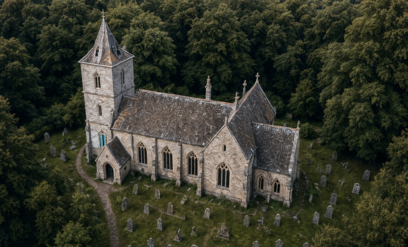
Aerial view of a historic church

Heritage 3D Modelling

Accurate digital records for documentation, conservation planning and long-term preservation.

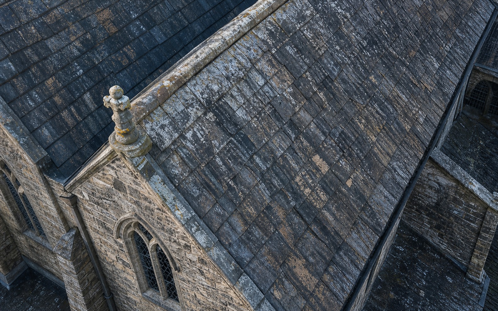
Detailed aerial view of a historic roof

Roof Inspection Surveys

Detailed aerial imagery of roofs, towers and hard-to-reach areas—captured safely from the ground.

Menu

Technology

Professional capture. Precise processing.

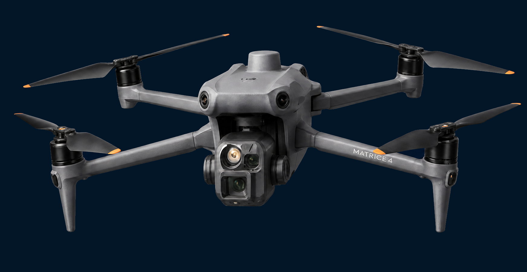
DJI Matrice 4 Series survey drone

DJI Matrice 4 Series

Enterprise-grade aerial capture for detailed, efficient surveys.
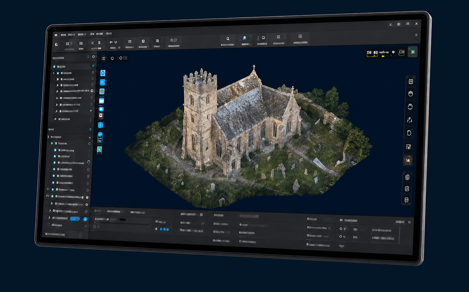
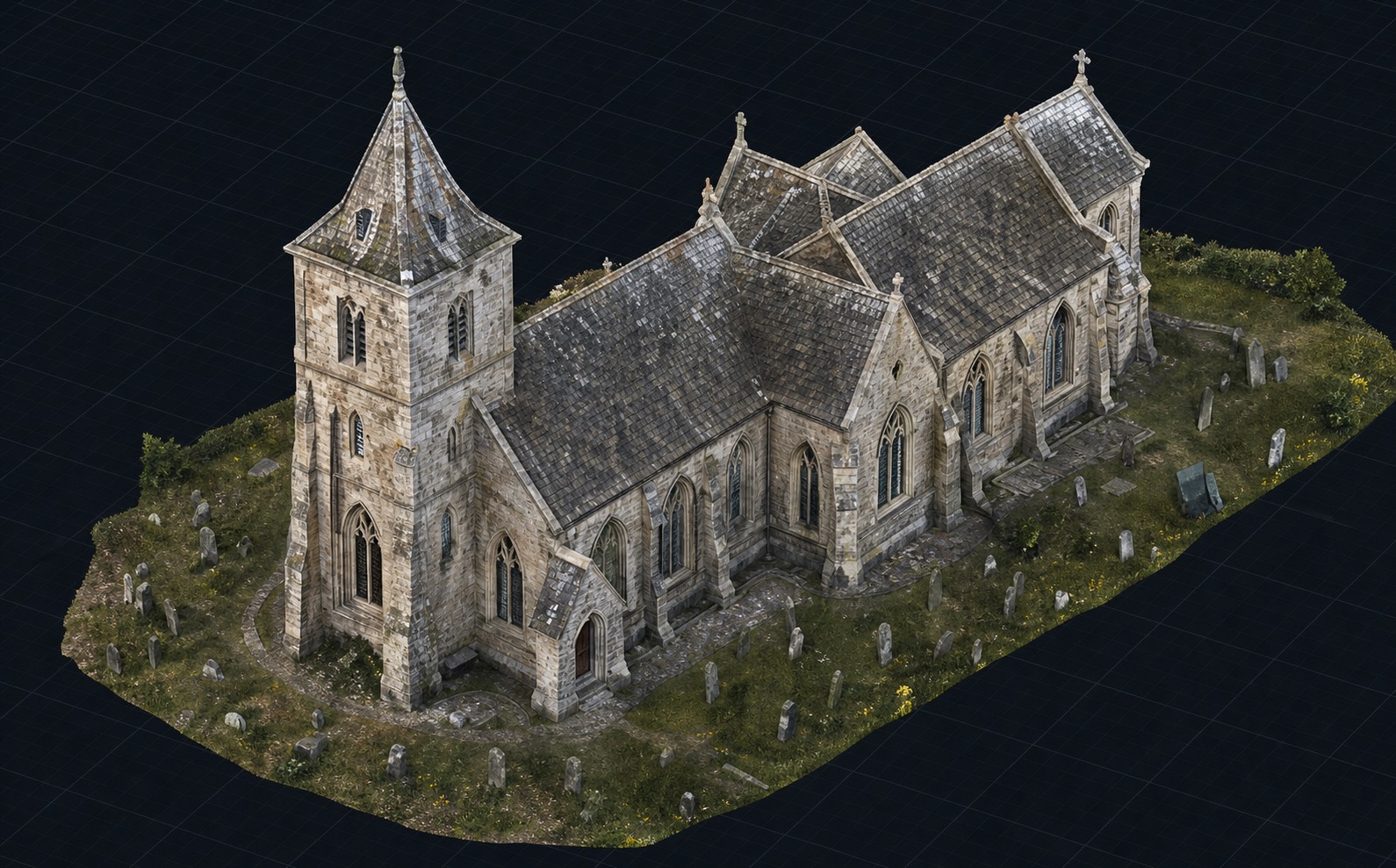
DJI Terra photogrammetry software showing a church model

DJI Terra

Photogrammetry processing for accurate 3D models, maps and measurable digital outputs.

Menu

Approach

From flight plan to digital record.

01

Plan

02

Capture

03

Process

04

Deliver

Selected applications

Church photogrammetry model
Church Digital Twin
Close aerial inspection of historic roof tiles
Historic Roof Inspection
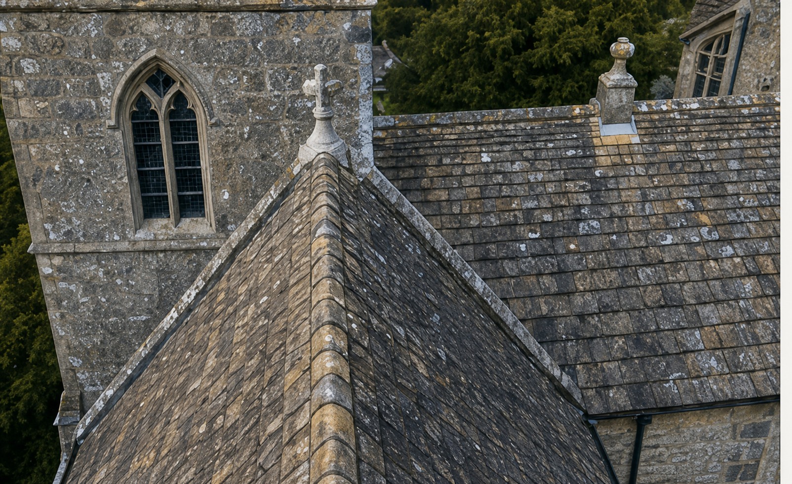
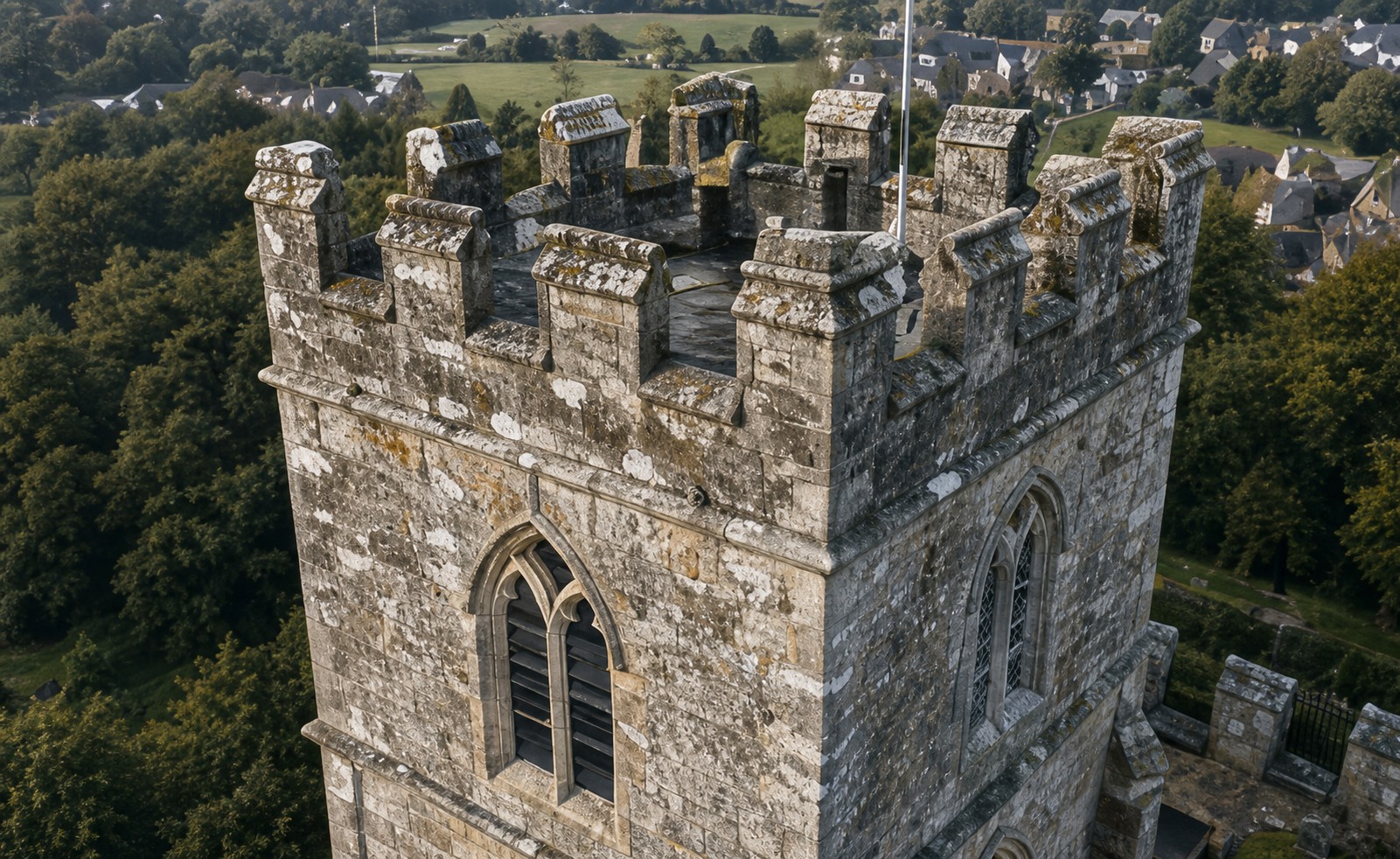
Aerial survey of a stone church tower
Stone Tower Survey
Menu

Start a project

Have a building you’d like to preserve?

Tell us a little about your site and what you need. We'll help shape the right survey, inspection or digital-record approach.

  • Heritage and conservation surveys
  • Roof and hard-to-reach inspections
  • Accurate 3D documentation
Project enquiry

Tell us about your building

Your details will only be used to respond to your project.